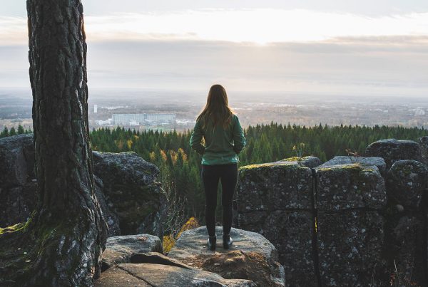
Billingen stretches across the three municipalities of Skövde, Skara, and Falköping, and its highest point is at 304 metres above sea level. Its stratification follows the pattern of the other table mountains: basement, sandstone, alum shale, limestone, clay shale, and dolerite. Billingen is the largest table mountain in terms of surface area and is divided into North Billingen and South Billingen. The large dolerite plateau on the top is scarcely populated and is characterized by woodland and wetland.
Billingen has a long history as a centre for limestone mining; the lime was used to manufacture cement. Alum shale has also been quarried here, and there are still active dolerite quarries. The city of Skövde is partly situated on the slopes of Billingen, and the mountain is a popular outdoor recreation area.
Learn more www.vastsverige.com/billingen