

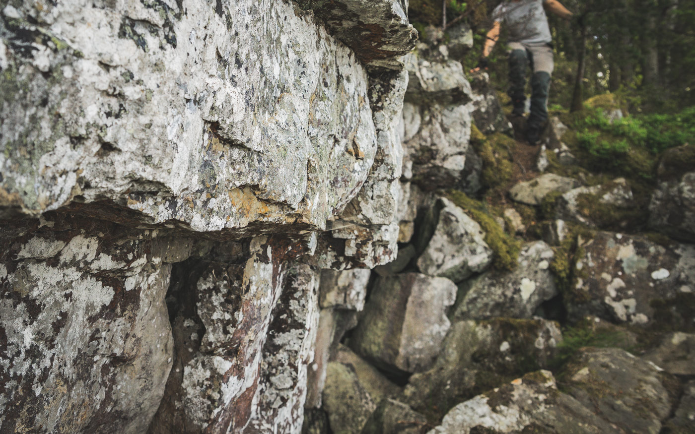
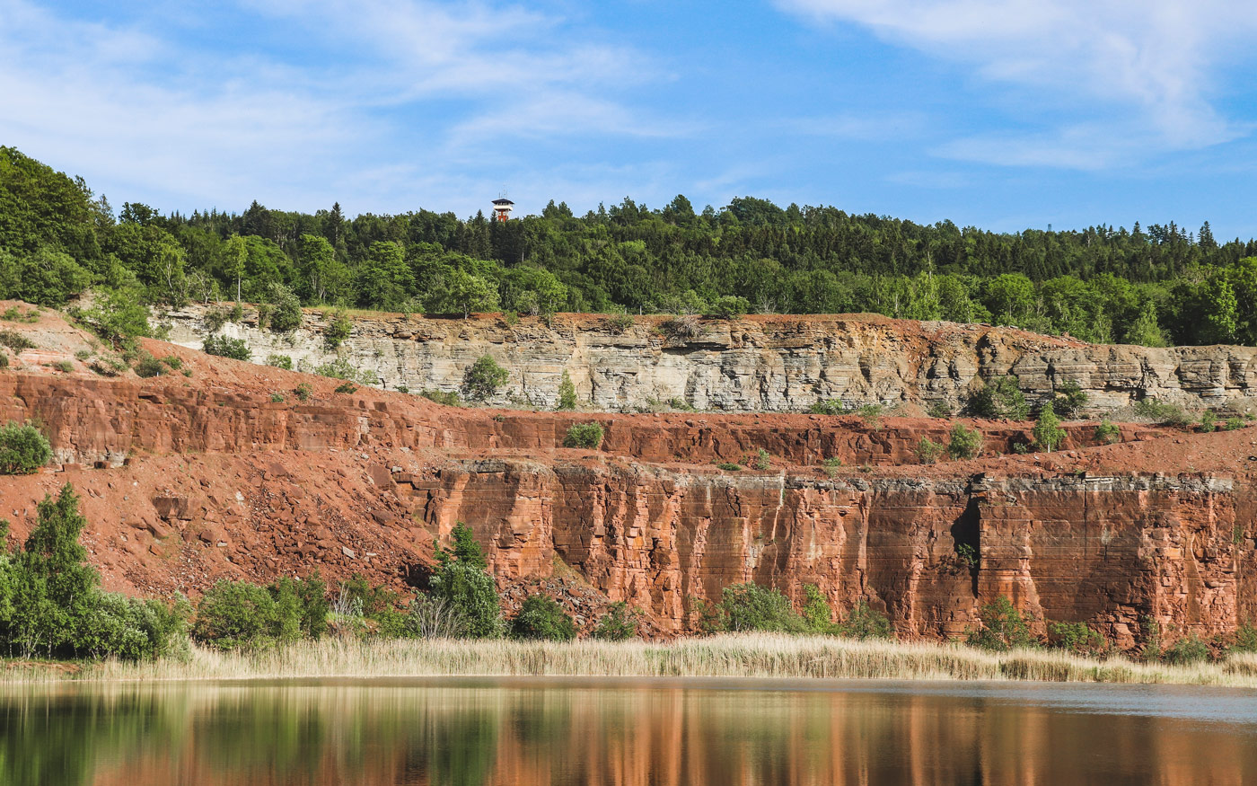
The rocks in our table mountains are sorted in layers, kind of like the layers of a cake. At the base is the so-called basement rock, and at the top is a protective cap of dolerite. Between these igneous rocks are layers of sedimentary rocks. These were formed from sediments deposited on the bottom of an ancient sea – sediments that were subjected to high pressure for millions of years, turning them into stone. Thus, the table mountains contain both fossils from long-extinct animals and some of the world’s oldest meteorite finds. All table mountains do not have the same composition; they can differ somewhat. Common for all, however, is that they rest on the basement rock, so let’s start there.
Basement rock
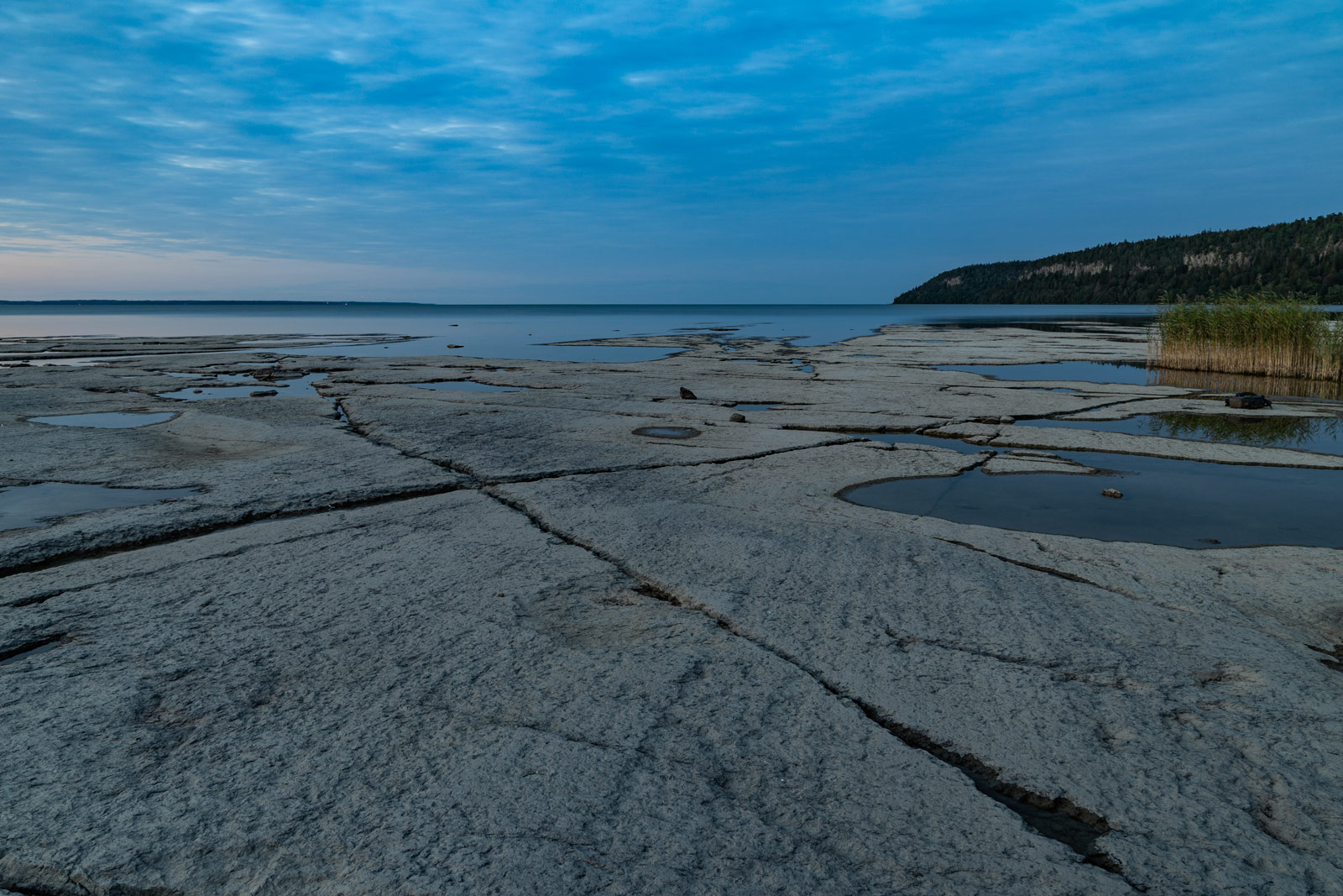
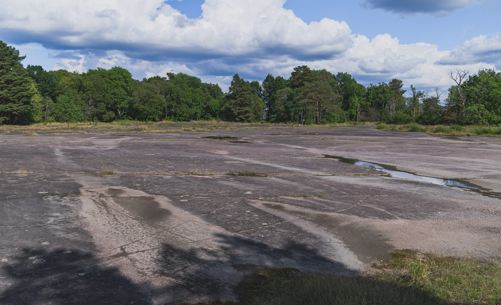
The oldest bedrock we have in Platåbergens Geopark is 1,700 million years old – such an immensely long time that we can hardly grasp it. This is what we call the basement rock, and it can be found beneath all of the table mountains. The basement rock is composed of granites and gneisses that formed as parts of an enormous mountain range. Around 600 million years ago this mountain range had eroded down to a completely flat surface, which we call the peneplain. This flat surface can be found beneath both the table mountains and the entire Västgöta Plain.
The peneplain formed across large parts of Sweden but in most places it has been transformed and broken up. In the Geopark, however, it is well preserved and visible in many places, something that is unique in the world. For example, there are large visible areas at Nordkroken and in Slättbergens nature reserve within the city of Trollhättan.
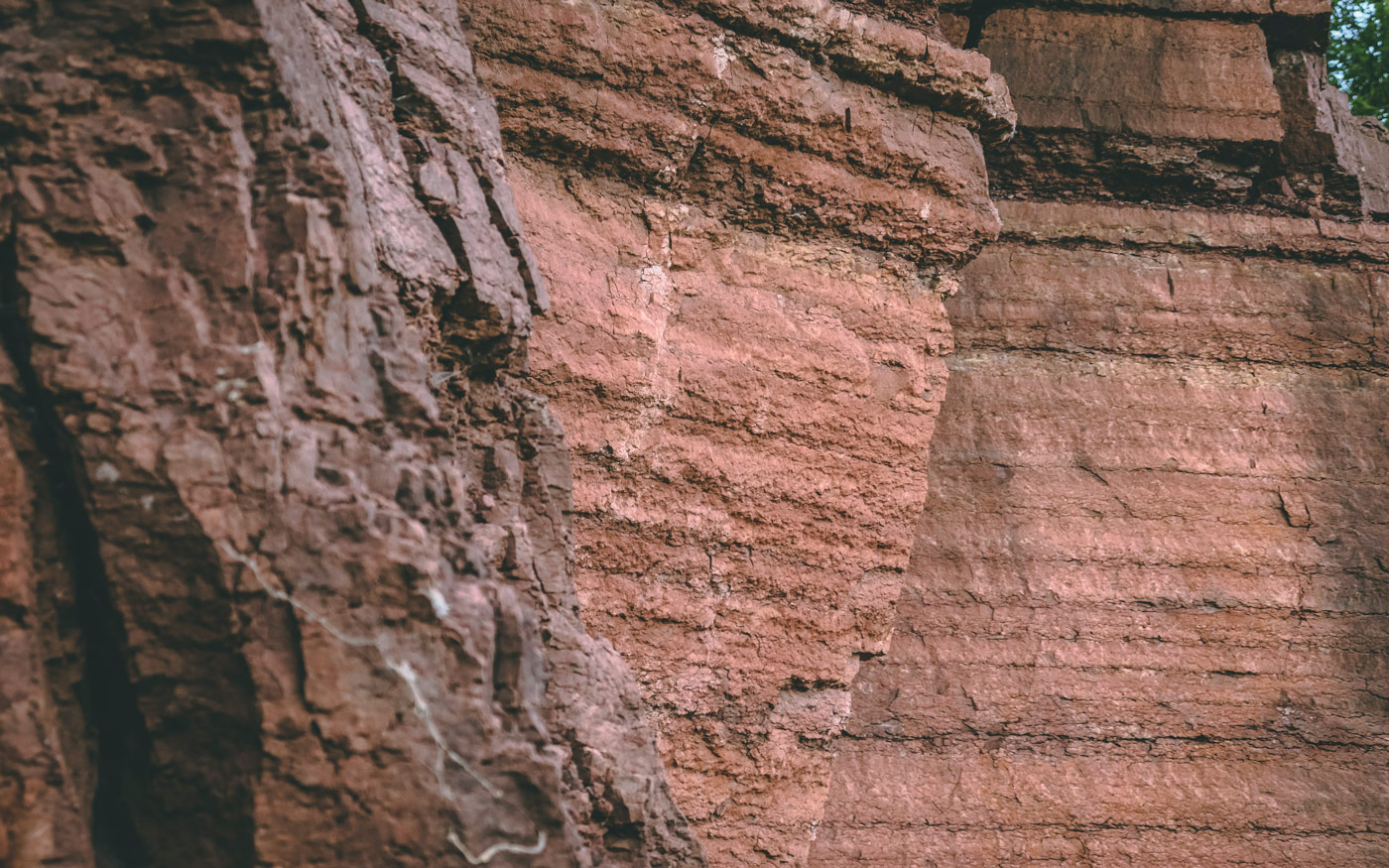
Sandstone
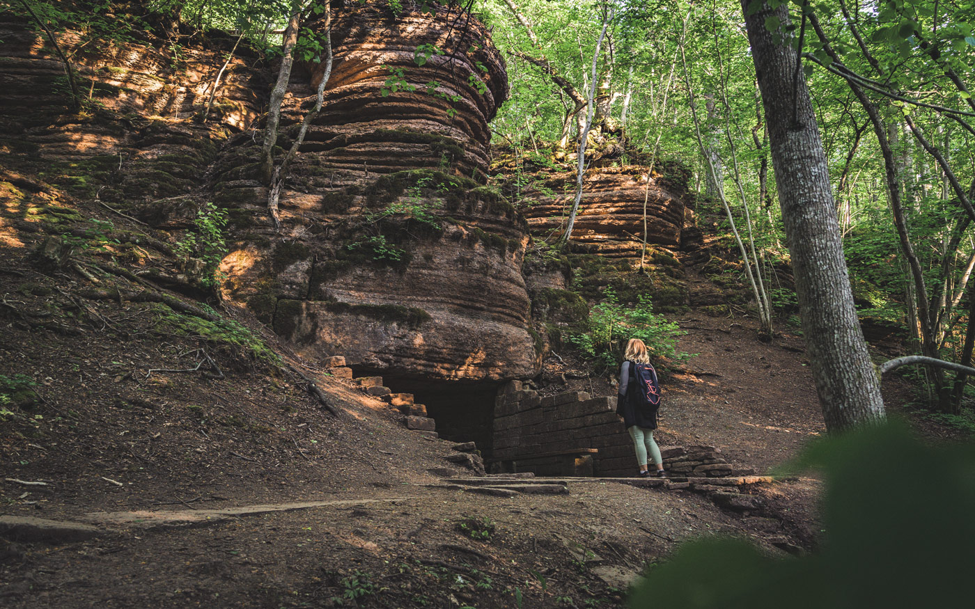
Around 510 million years ago, our continent was located south of the equator. Here, on the bottom of a shallow sea, sand was deposited onto the basement rock. This sand eventually became the sandstone found in the table mountains. We can still see traces of the ancient sandy seafloor, as there are ripple marks created by the waves of the ancient sea as well as tracks from the aquatic organisms that crawled across the sand. Such ripple marks are visible at Trolmen harbour by Kinnekulle and in the ceiling of the Millstone Mine at Lugnåsberget. Sandstone is a porous rock that sometimes create spectacular formations, especially along the shores at Kinnekulle.
Sandstone became a common building material in the 12th century. Many of the churches around Kinnekulle are built of sandstone, and so is the Skara Cathedral.
Alum shale
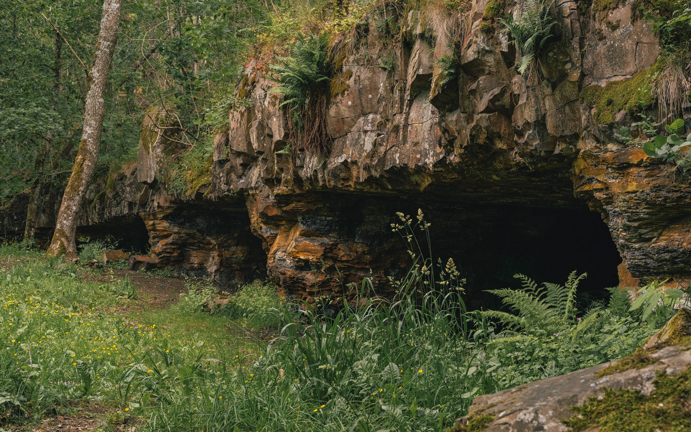
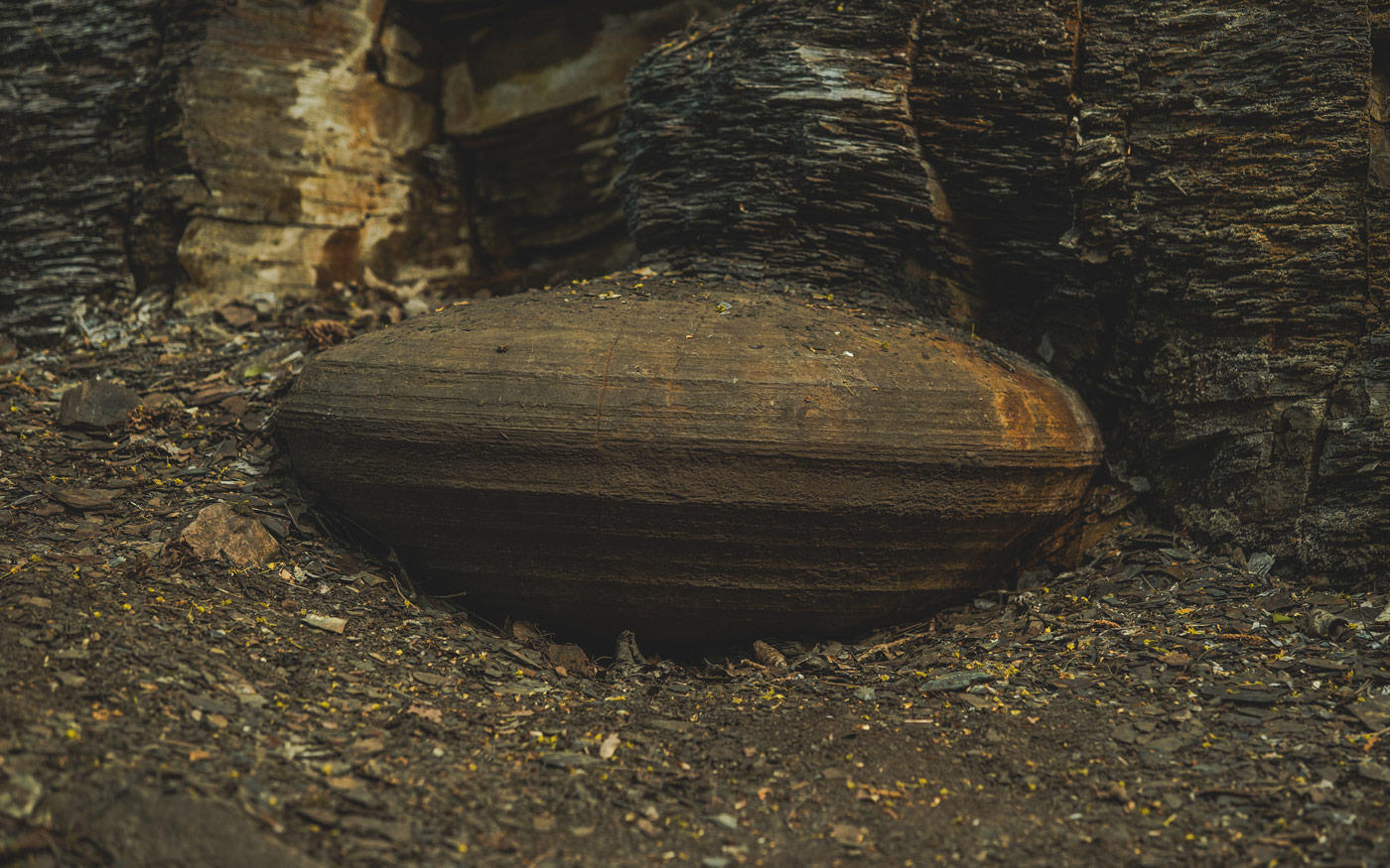
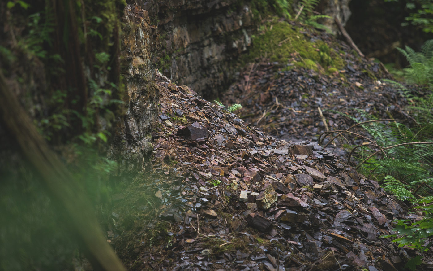
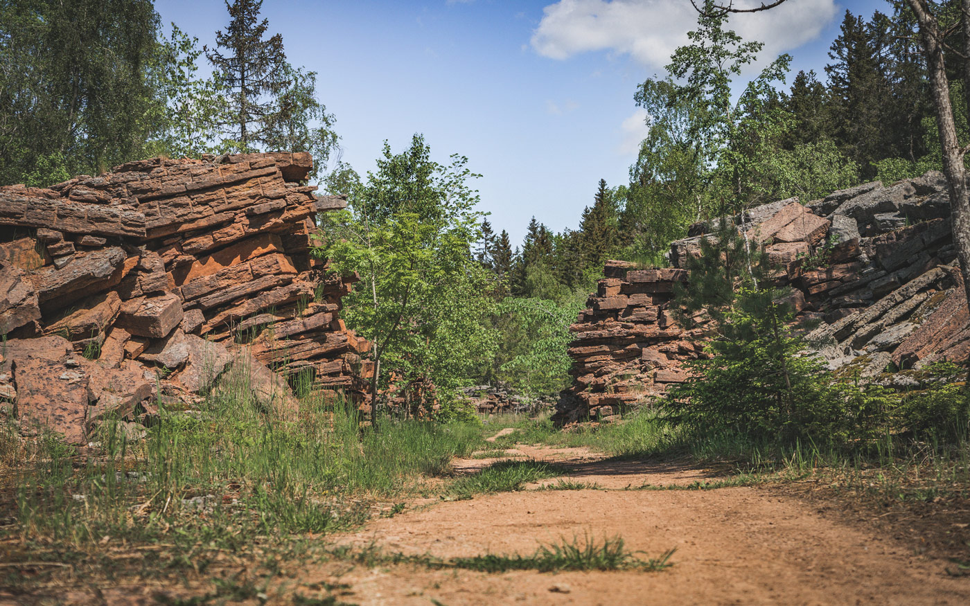
Clay particles deposited on top of the sand, together with remains of dead organisms, became the rock we call alum shale. Alum shale has been an important resource for humans – for good and bad. The alum shale contains oil and several important (and hazardous) minerals and metals.
Oil was extracted at Kinnekulle during both World War I and II, when oil prices were high. At Ranstad on Billingen, uranium was extracted in the 1950s and ‘60s. The alum shale also contains ‘balls’ of limestone, called stinkstone, that were mined and burned to extract lime. The reason for their name is that they emit a bad smell, reminiscent of crude oil, when broken open. The alum shale is a porous rock that easily crumbles.
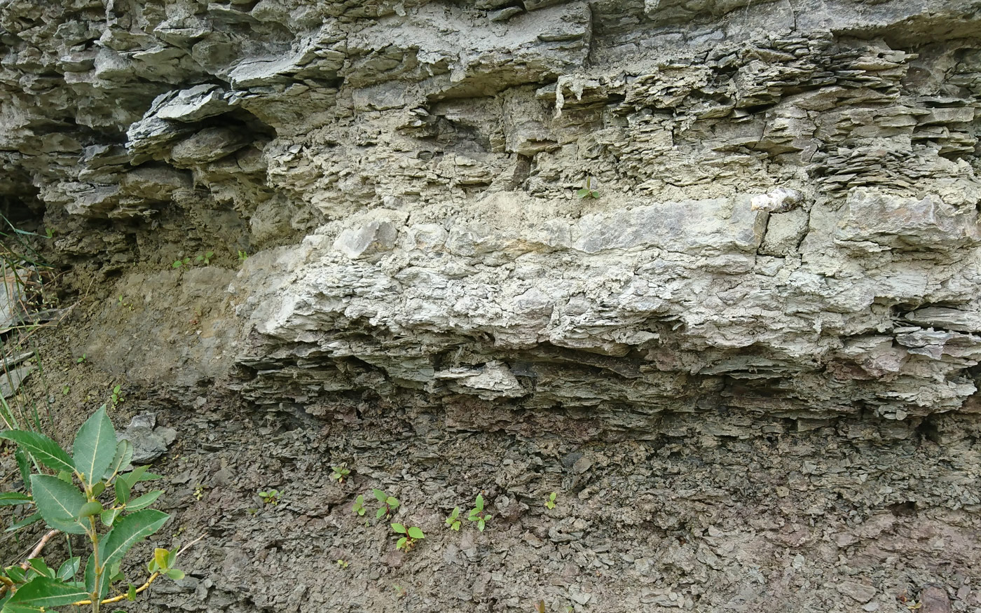
Limestone
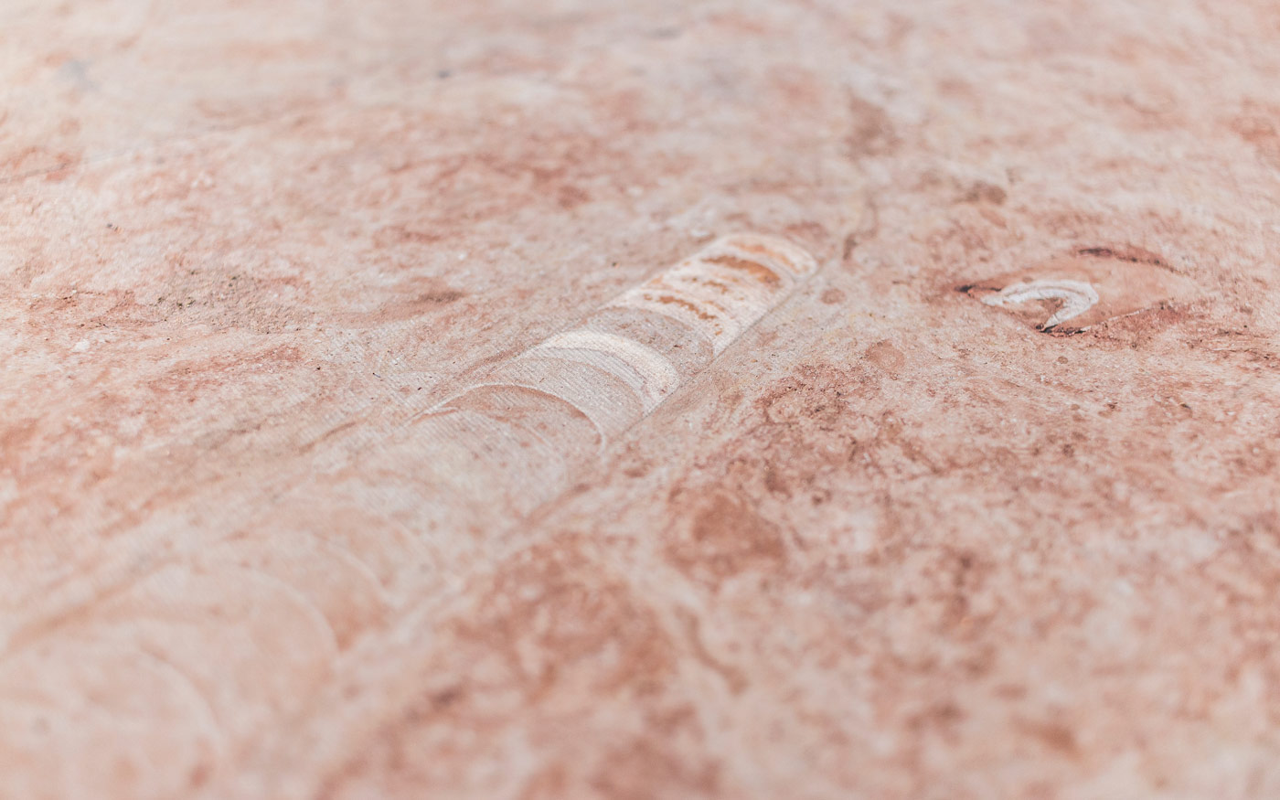
On top of the clay, lime mud and shell remains from various aquatic organisms (such as corals and gastropods) were deposited, forming the rock known as limestone. The composition of the limestone reflects the environment at the time of deposition; thus, it contains large amounts of fossils – for example of orthoceratites, prehistoric cephalopods with long and narrow, conical shells. The limestone at Kinnekulle also contains remains of the world’s oldest meteorites – rocks from space that struck the bottom of the shallow sea.
Since Mediaeval times, limestone has been used as building material in both churches and castles. Later on, limestone became an important resource as fertiliser for farmland. In the 19th century, large limestone quarries were opened as the rock began to be used as a component in cement. There are plenty of traces from the limestone industry all around the table mountains.
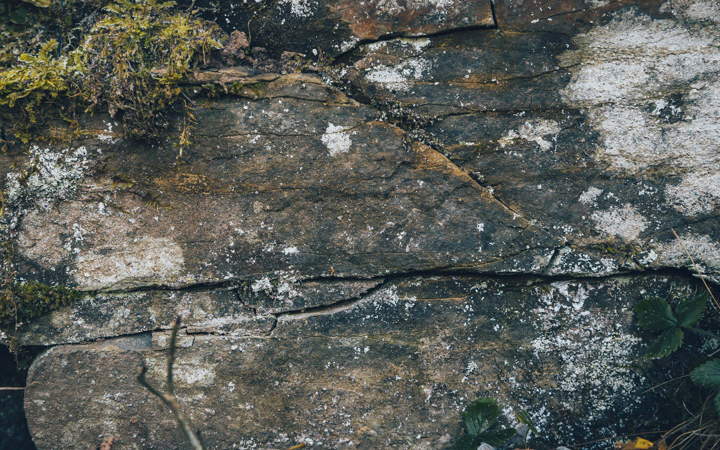
Bentonite
The rock known as bentonite can be found as a thin layer in our table mountains, often only a couple of decimetres thick – or a little thicker in some areas. Bentonite is composed of volcanic ash that spread across Earth during a dramatic period in our planet’s history. The ash fell into the sea and sunk to the bottom as sediment, eventually forming the clay mineral called bentonite.
A special property of bentonite is that it swells as it absorbs water. This property makes it useful as a sealant – for example, it has been suggested as a sealant around final disposal canisters for spent nuclear fuel. Since bentonite can absorb fluids it is also used as cat litter.
Photo: Sven-Åke Larson
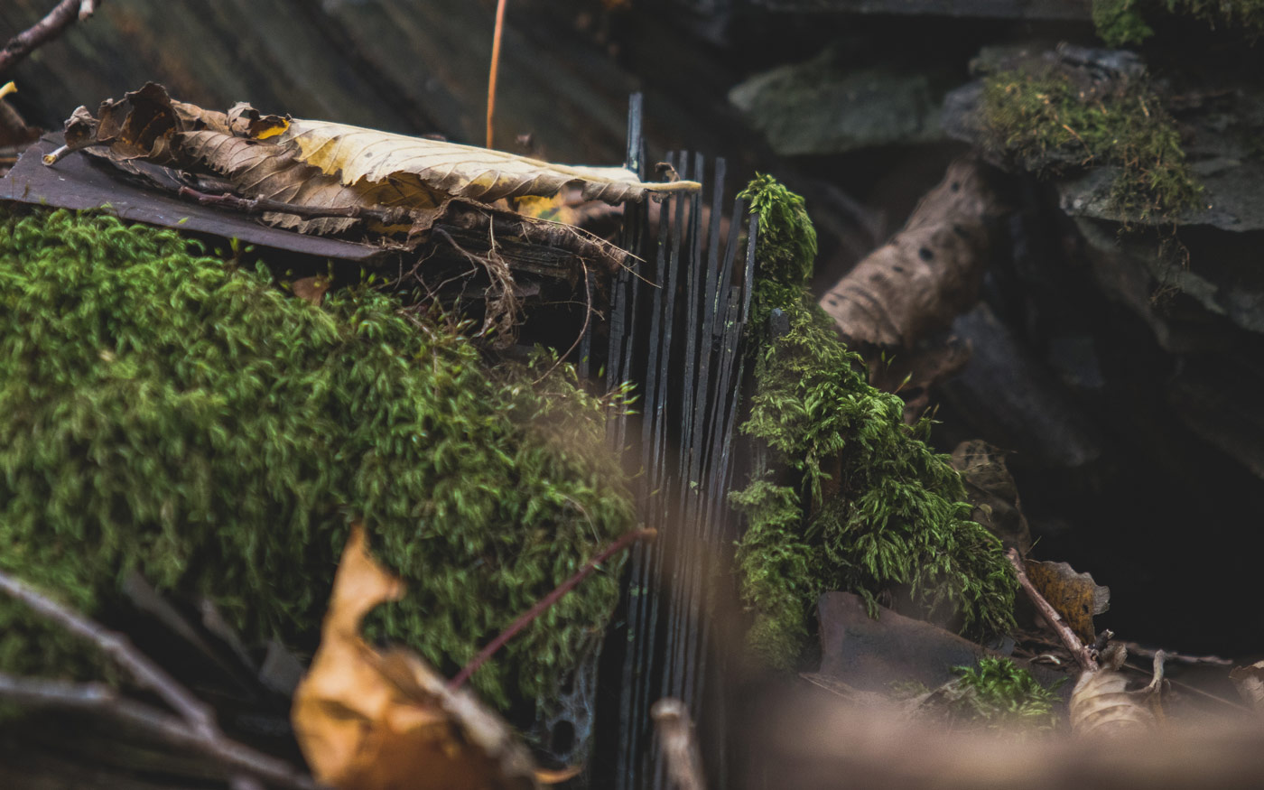
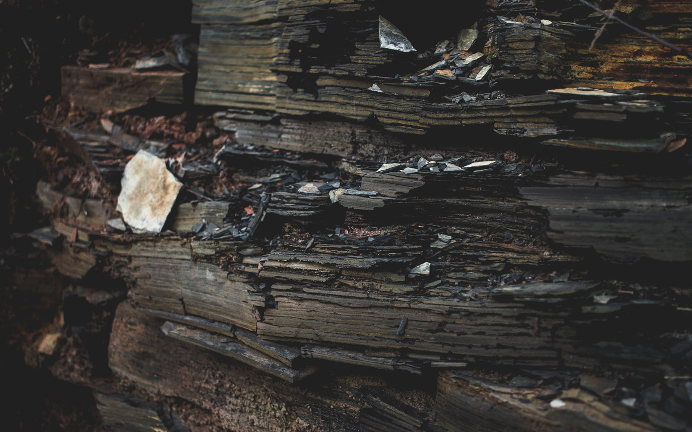
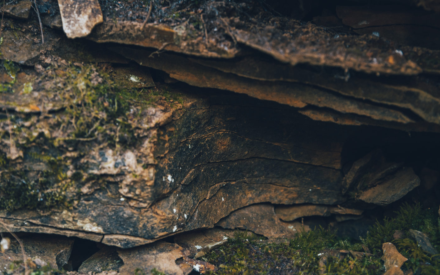
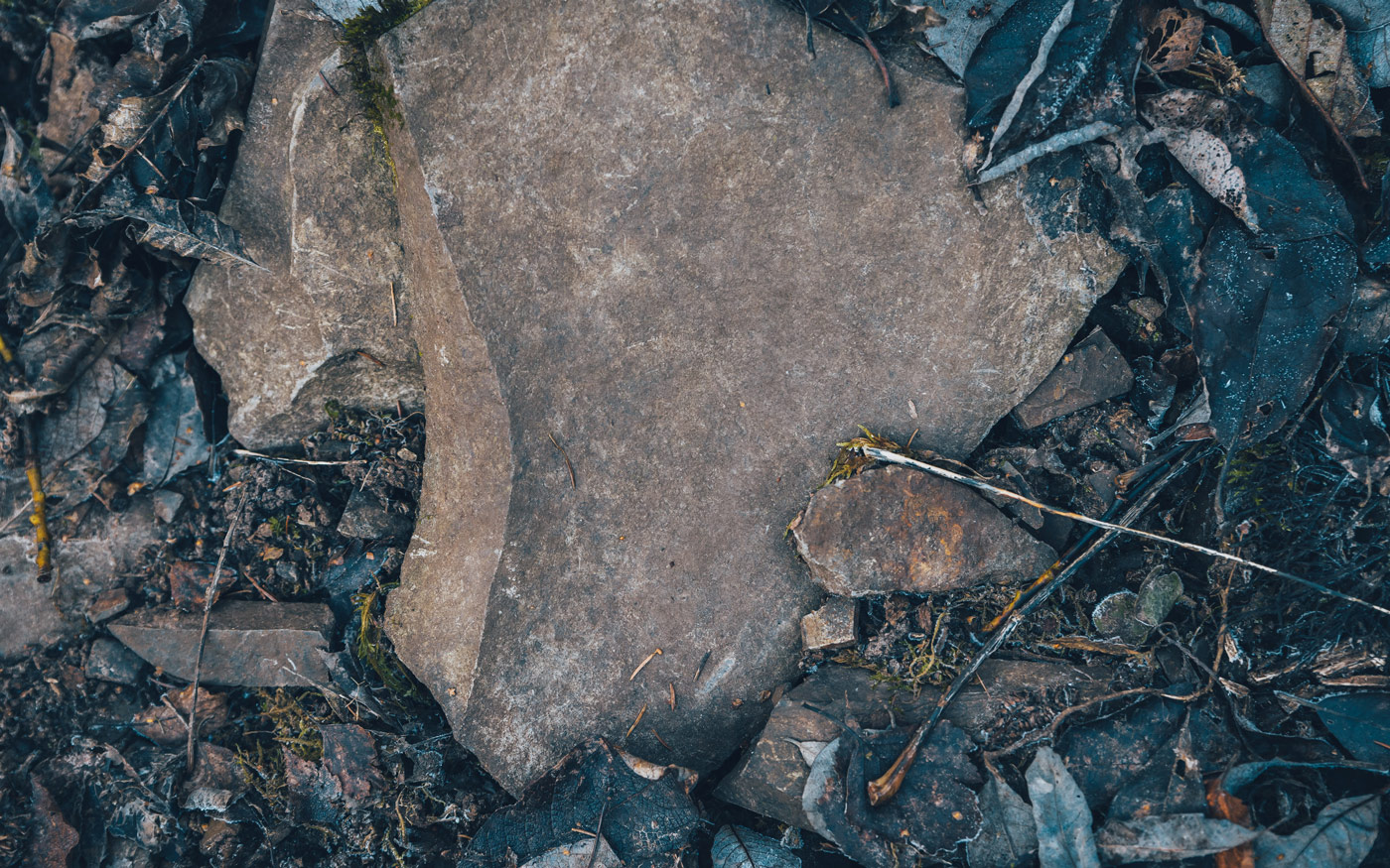
Clay shale
The clay shale also formed from clay on the seafloor, turning to stone during millions of years of high pressure. The clay shale layer sits near the top of the table mountains, directly beneath the dolerite cap. Clay shale often contains fossils, for example trilobites. Another type of fossil found in the clay shale is graptolites, small colonial animals that once lived in the clay on the seafloor.
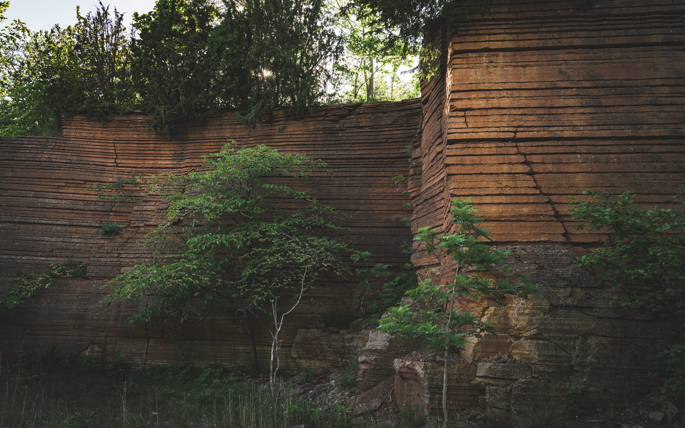
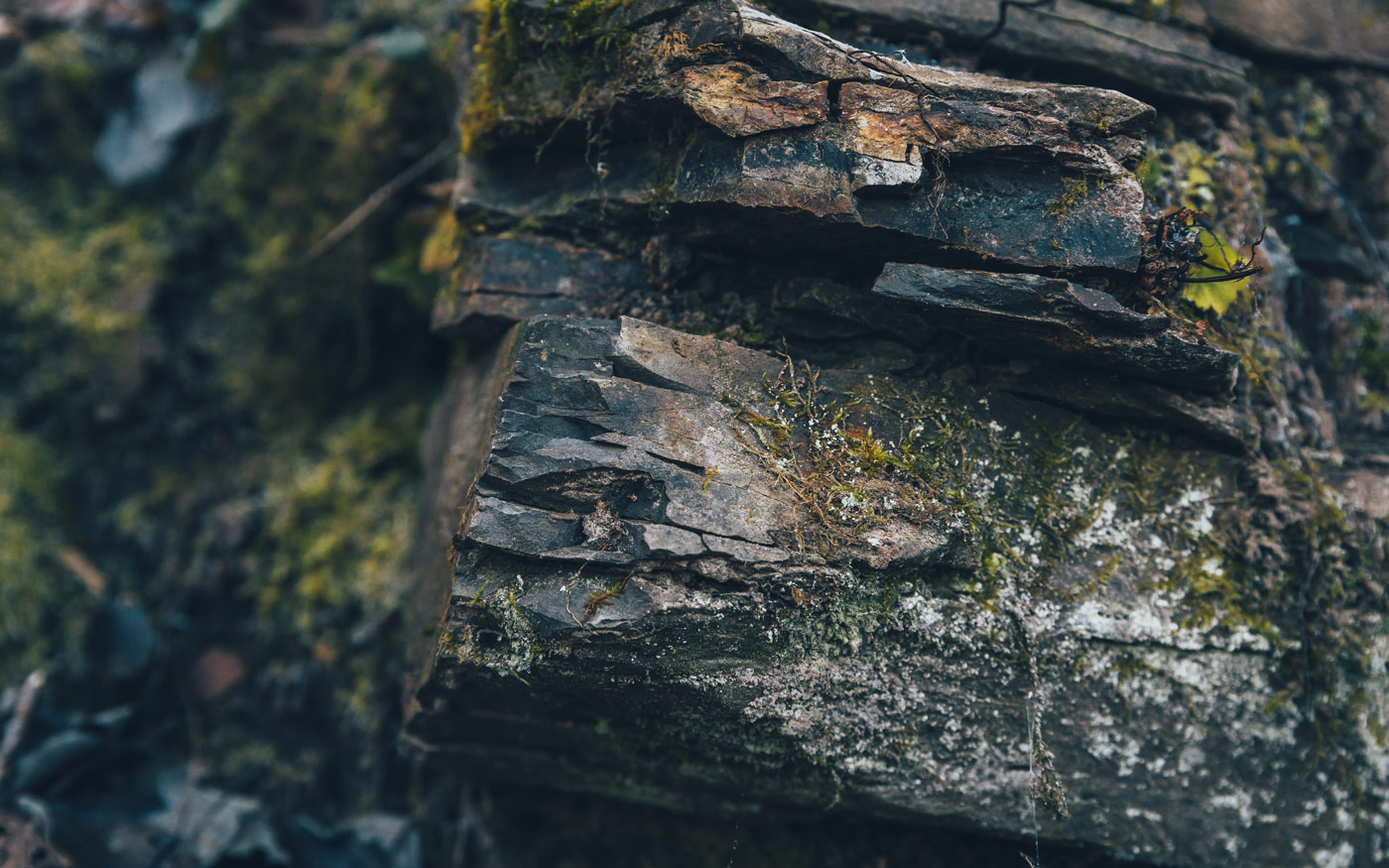
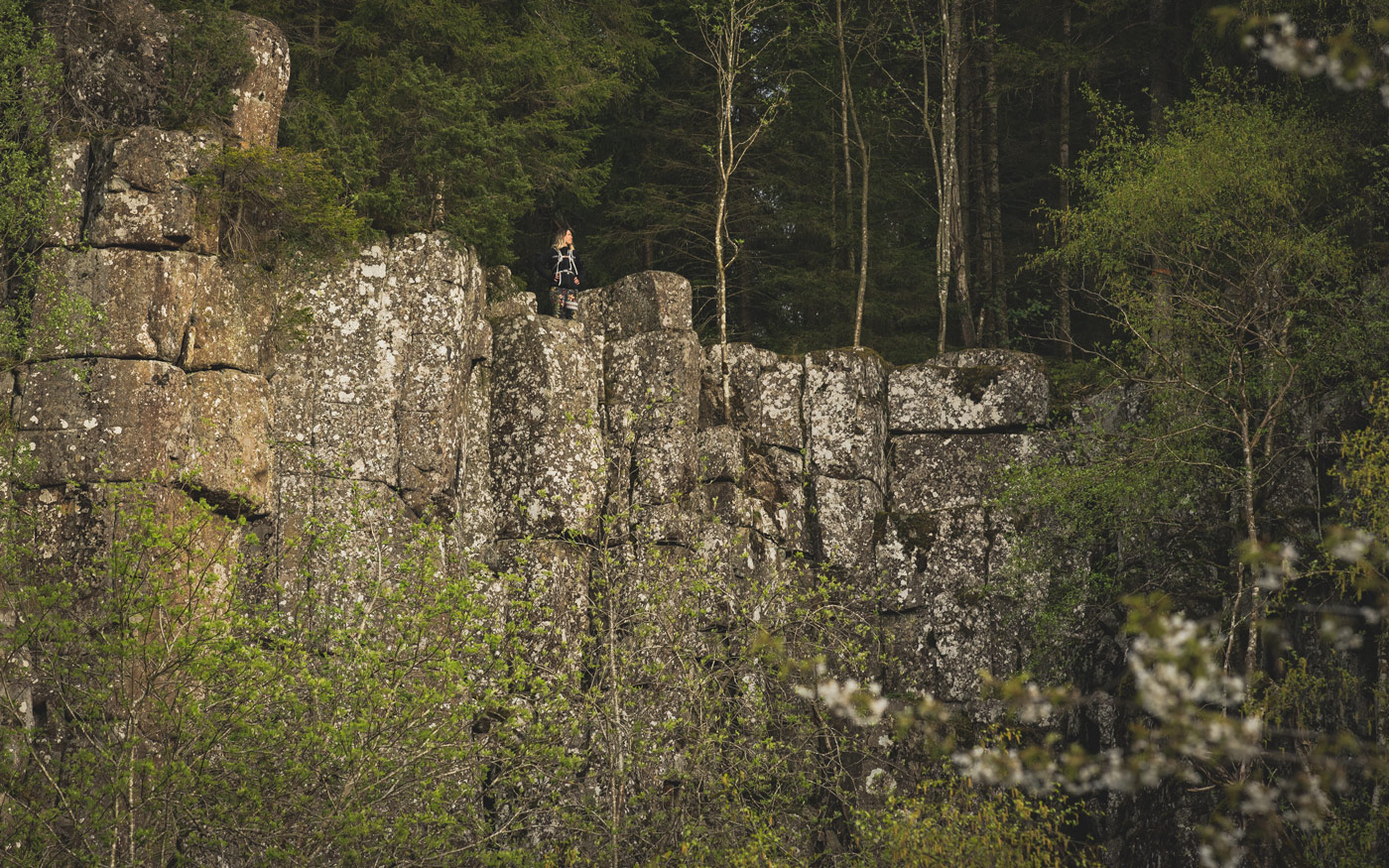
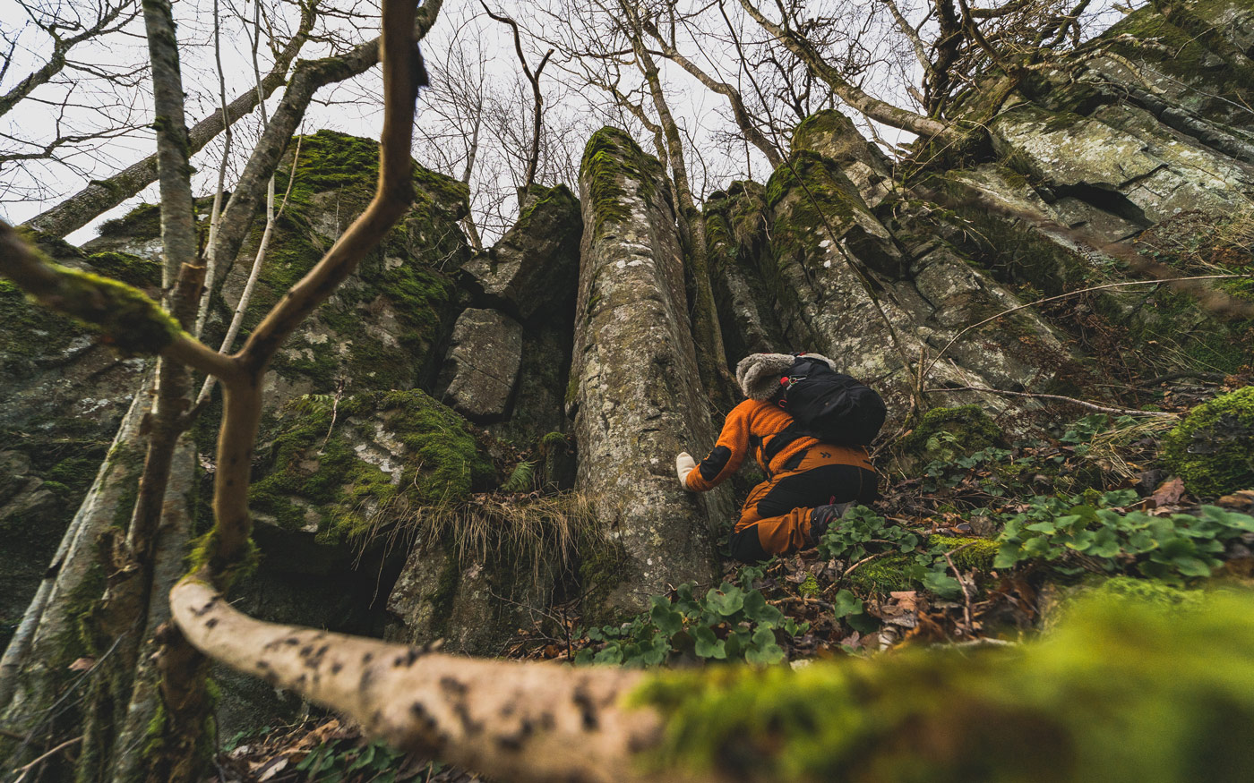
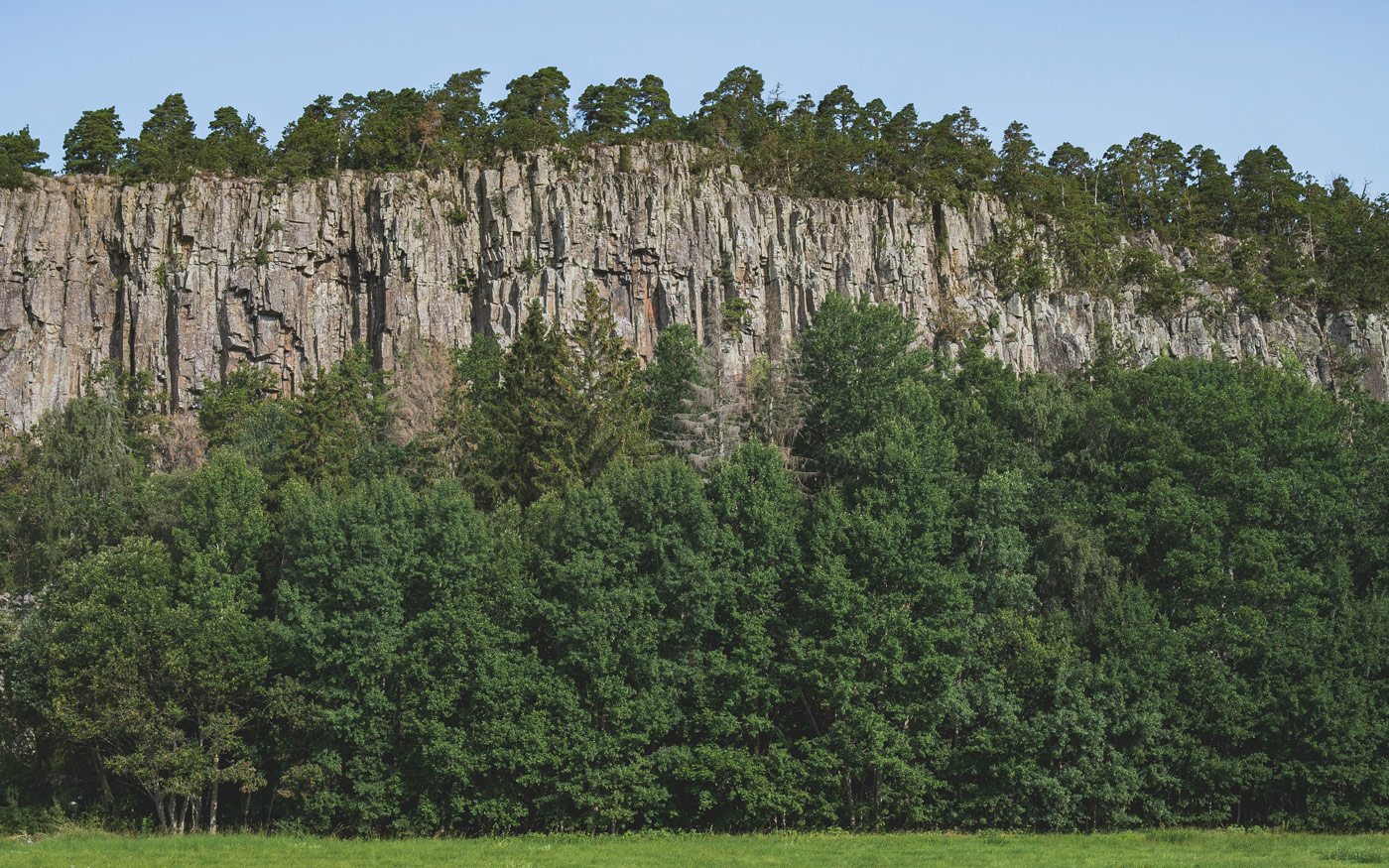
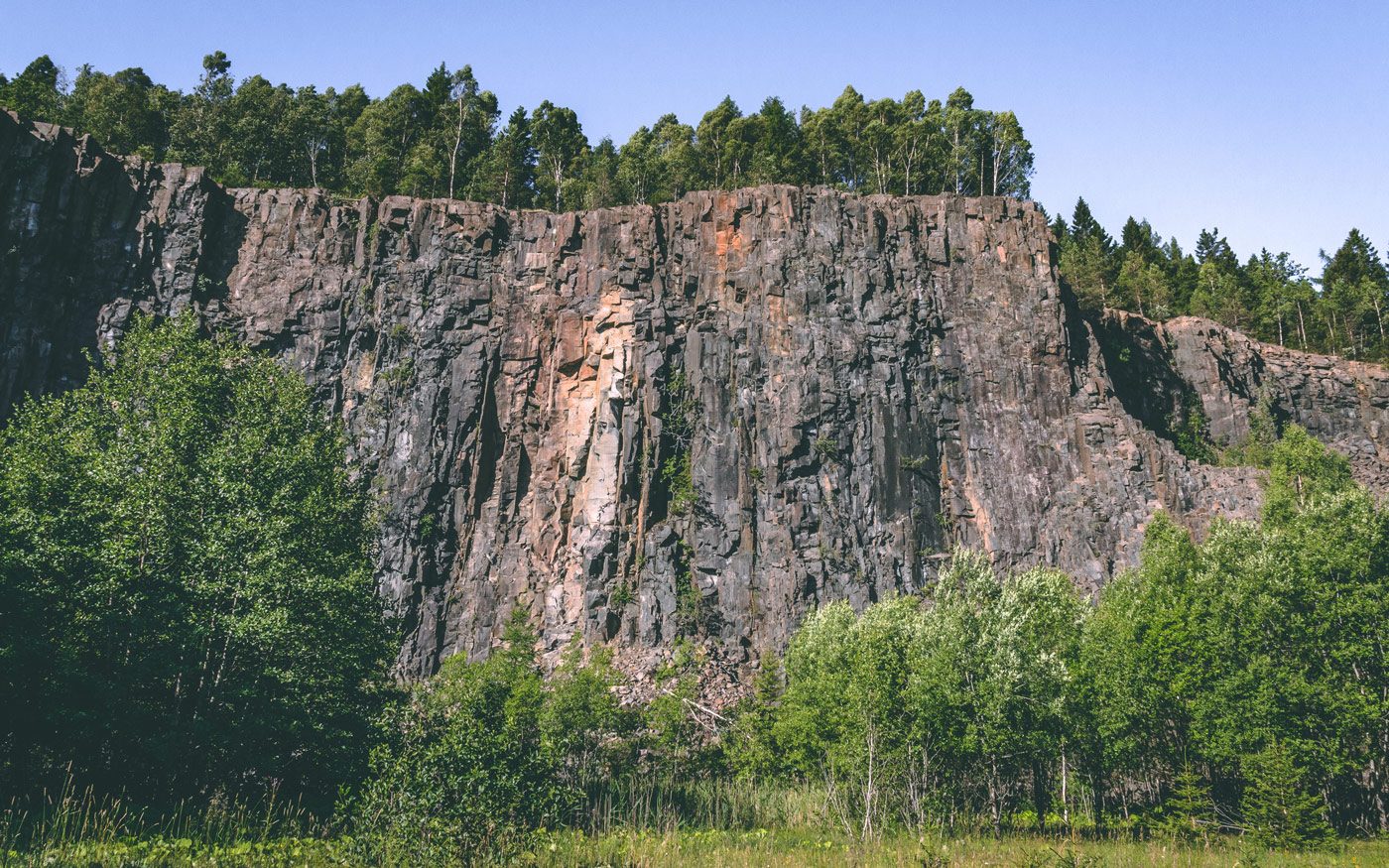
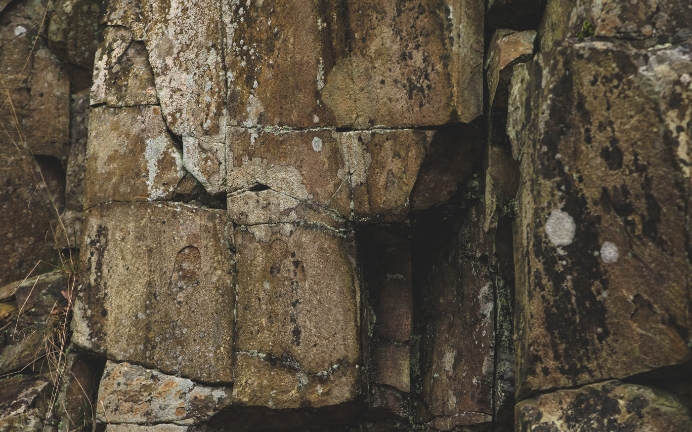
Dolerite
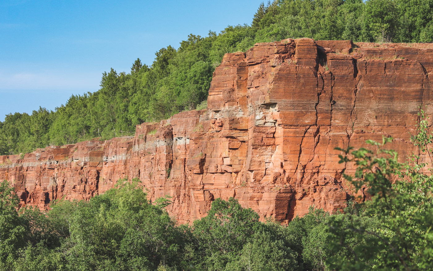
At the top of the table mountains we find the igneous rock known as dolerite – the very reason we have table mountains in our region today. It formed from magma rising from Earth’s mantle around 280 million years ago, which solidified here and there inside the sedimentary rock layers. Dolerite is a hard rock that doesn’t erode easily. Where there was no dolerite, the sedimentary rocks eroded all the way down to the basement rock. But in the places where the dolerite had penetrated the sedimentary rocks, it formed a protective cap over the softer rocks, and thus the table mountains were eventually created.
On several of our table mountains the dolerite is especially visible where it emerges with its vertical cliff faces and spectacular formations. An old Swedish word for dolerite is trapp, derived from the word for ‘stairs’, as the dolerite formations are often reminiscent of stairs.
Do you want to know more?
Continents have collided, drifted apart and collided again. Volcanoes have ravaged the region. Weather, wind, and changes in temperature have eroded mountains. Kilometre-thick ices have re-shaped the landscape. Immense floods have washed across the lands.
Why does the table mountain landscape look the way it does? When and how did the basement rock form? What sea collected the sediments that became mountains? When did the table mountains form? How have ice ages affected the landscape?
Find out more

